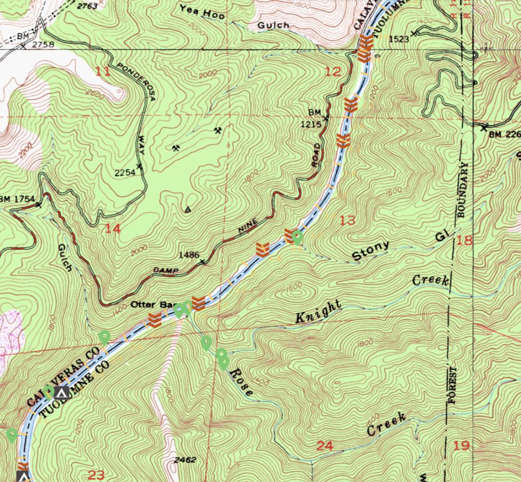


Overview map of Stony Creek (aka Stony Gulch), which formed Bailey Falls
Description:
Stony Gulch (nee Stony Creek) came in from river left right at Bailey Falls – the rocks that were deposited into the Stanislaus there from Stony Gulch flooding formed a large rock bar (which trapped the pool right above the rapid) and then the larger rocks that created the falls themselves. It was hidden behind vegetation and was hard to see since most people were navigating through Bailey at that point!
Keywords:
River
Format:
Other Image
Collection:
Admin's Collection
Rights:
From California Historical Topo Map
Date uploaded: Apr 23, 2018
Date last modified: Apr 23, 2021